A Bird’s-Eye View: How Drones Enhance Real Estate Site Surveys
Introduction
When it comes to real estate development and construction projects, accurate site surveys are crucial for success. Traditionally, site surveys have been time-consuming and costly endeavors. However, the emergence of drone technology has revolutionized the way we approach site surveys in the real estate industry. In this blog post, we will explore how real estate drone photography enhances site surveys and unlocks a range of benefits for developers and construction professionals.
Understanding Traditional Site Surveys
Before diving into the world of drone-assisted site surveys, it’s essential to understand the limitations of traditional survey methods. Conventional surveys often involve manual measurements, ground-level inspections, and the use of specialized equipment. These methods can be slow, labor-intensive, and prone to human error. Moreover, they may not provide a comprehensive view of the entire site, leading to incomplete or inaccurate data.
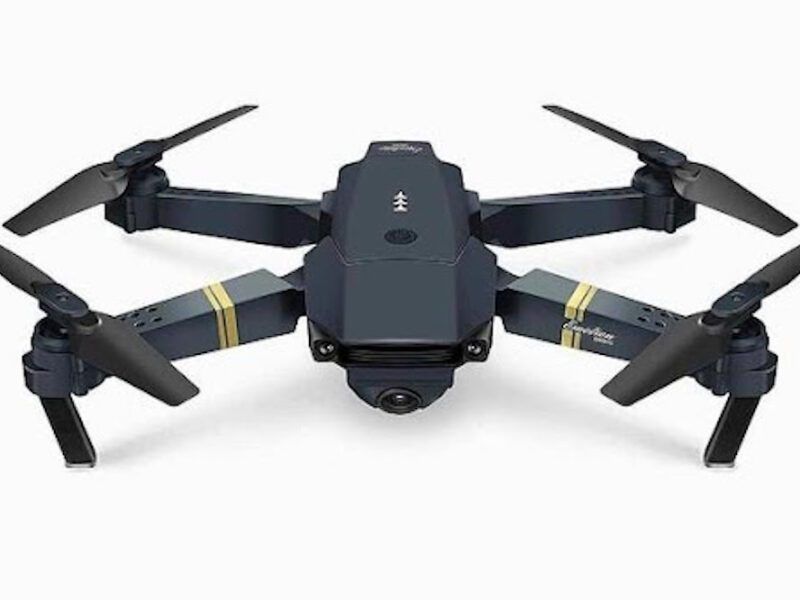
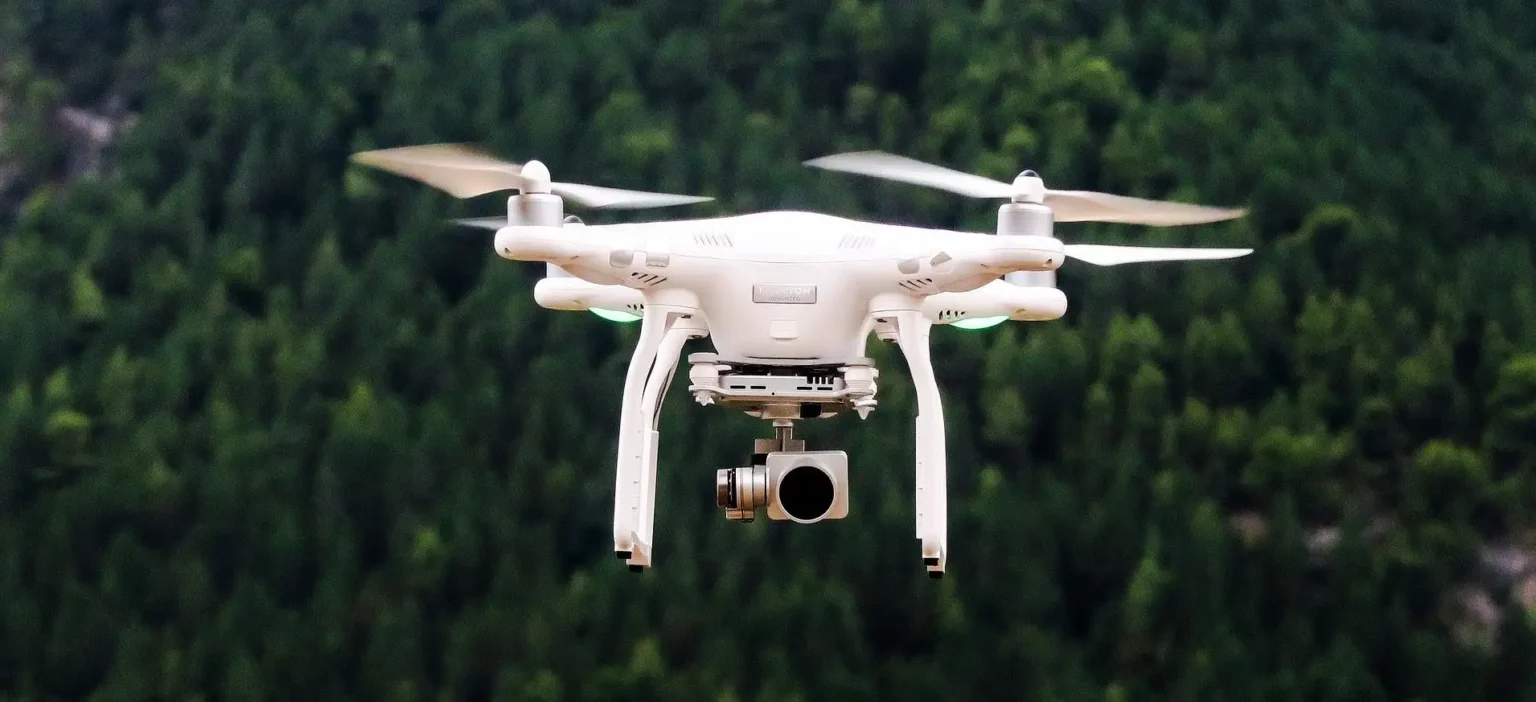
The Role of Drones in Site Surveys
Enter drones, the game-changers in real estate site surveys. Drones offer unique capabilities and features that make them ideal for capturing bird’s-eye views of properties and their surroundings. Equipped with high-resolution cameras and advanced imaging technology, drones enable professionals to obtain accurate and detailed data with ease.
Benefits of Drone Site Surveys
Enhanced Data Collection: Real estate drone photography facilitates the capture of high-resolution aerial imagery and 3D mapping data. This comprehensive information allows professionals to gain a deeper understanding of the site’s topography, vegetation, and existing structures. It provides a holistic view that aids in informed decision-making throughout the development or construction process.
Improved Efficiency and Time Savings: Drones significantly speed up the surveying process by covering large areas quickly and efficiently. Unlike traditional methods that require manual measurements and on-site inspections, drones can capture data from multiple angles and heights in a fraction of the time. This accelerated workflow translates into substantial time savings for real estate professionals.
Cost Savings: Adopting drone technology for sitesurveys eliminates the need for expensive equipment and reduces labor costs. Drones are cost-effective alternatives to traditional survey methods, allowing professionals to allocate their resources more efficiently. By streamlining the surveying process, drones help real estate developers and construction companies save money without compromising accuracy.
Safety and Risk Mitigation: Real estate site surveys often involve accessing hazardous or hard-to-reach areas. With drones, professionals can safely survey such locations without putting personnel at risk. By eliminating the need for on-site personnel in these areas, drones enhance safety and minimize the potential for accidents or injuries during surveys.
Case Studies and Examples
Let’s look at a couple of real-world examples that demonstrate the benefits of using drones for real estate site surveys.
Example A: XYZ Development Project
XYZ Development used drones to survey a large plot of land for a new residential complex. The drones captured high-resolution aerial imagery, which enabled the team to accurately map the terrain, identify potential obstacles, and optimize the project’s layout. The use of drones saved significant time and costs compared to traditional methods.
Example B: ABC Construction Site
ABC Construction used drones to conduct regular progress surveys on a multi-story building. By capturing aerial footage at various stages of construction, the team could closely monitor the project’s development, identify any deviations from the plan, and address issues promptly. This real-time insight facilitated efficient decision-making and improved project management.
Overcoming Challenges and Considerations
While drones offer immense potential for real estate site surveys, it’s essential to be aware of and overcome certain challenges. Factors such as weather conditions, airspace regulations, and flight restrictions can impact drone operations. By staying informed about local regulations, planning flights accordingly, and investing in weather-resistant drones, professionals can mitigate these challenges and ensure successful surveys.
Future Trends and Implication
As technology continues to evolve, we can anticipate even more advanced applications of drones in real estate site surveys. Emerging technologies like LiDAR and thermal imaging will enable professionals to gather even more detailed and specialized data. With these advancements, the use of drones will become more commonplace, offering enhanced insights, improved efficiency, and greater cost savings for the real estate industry.
Conclusion
Real estate drone photography has revolutionized site surveys, providing professionals with a bird’s-eye view of properties and their surroundings. Drones offer enhanced data collection, improved efficiency, cost savings, and increased safety during surveys. By adopting drone technology, real estate developers and construction professionals can streamline their surveying processes, make informed decisions, and ultimately enhance their projects’ success. Embrace the power of drones, and unlock the full potential of real estate site surveys!